Valley of Fire and Mojave



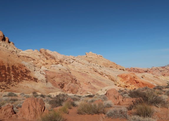
On Monday October 11, 2021, we drove east about an hour to Valley of Fire State Park. This was about an hour drive on I-15 east. From the park entrance, we took NV 169 past some view-points such as the Beehives, to the Park Visitor Center, which got us our first close up of the rock canyons.
We then took White Domes Road into the interior of the Park. We stopped at several viewpoints, including taking a walk at Mouse Tank to see petroglyphs that are 4,000 years old.
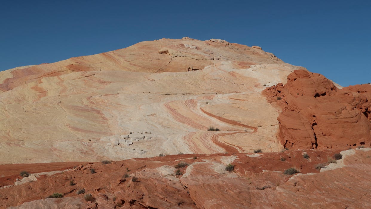
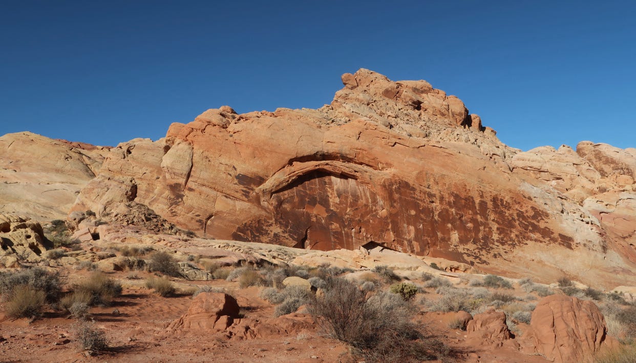
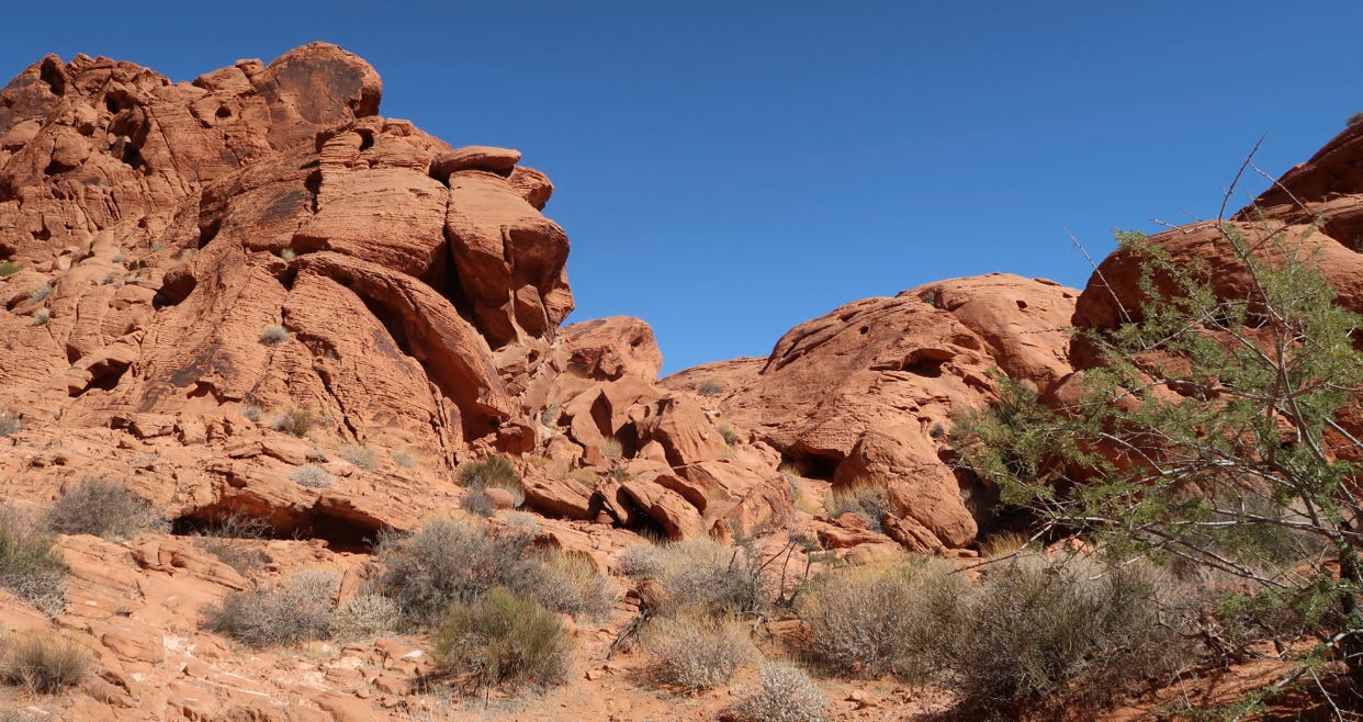
Hike at Mouse Tank
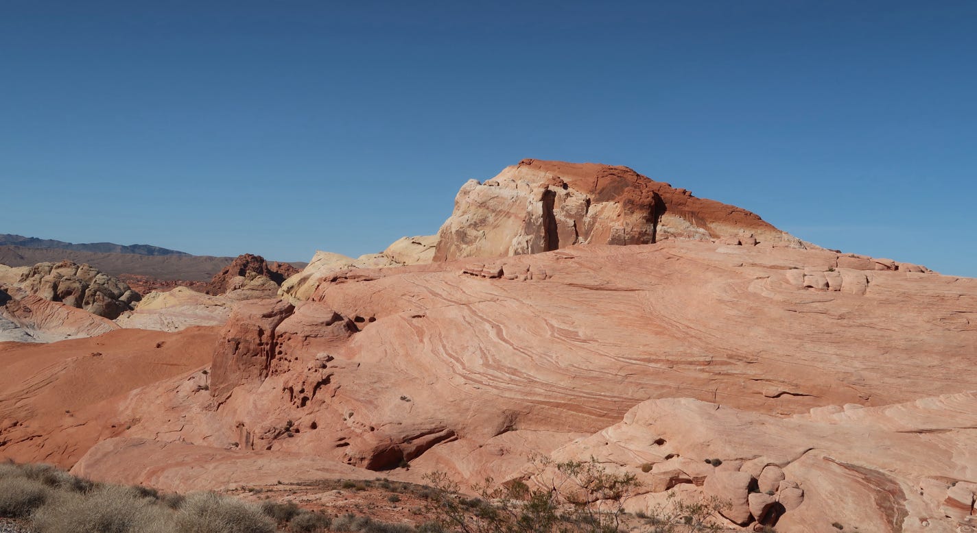
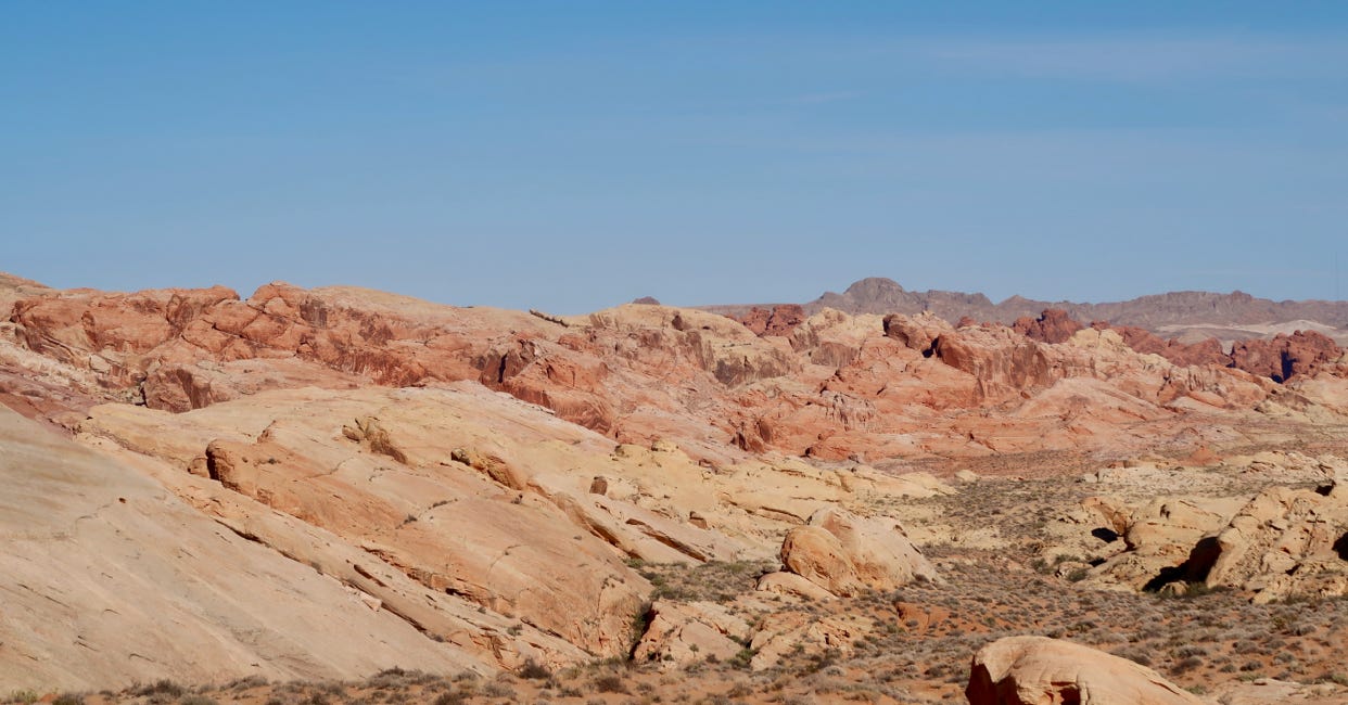
We also hiked to Fire Wave, sort of a mini version of the more famous wave in Arizona, and much easier to get to. This was a really fantastic hike with multicolored rocks. After that, we drove over Rainbow Vista, and visited White Domes briefly. We then took a spur road to an overlook of red mountains (Fire Canyon). Google Maps calls this a Star Trek pilgrimage site; we don’t know why. Along the way, we saw some bighorn sheep along the road. The photos above and below show the varied colors!
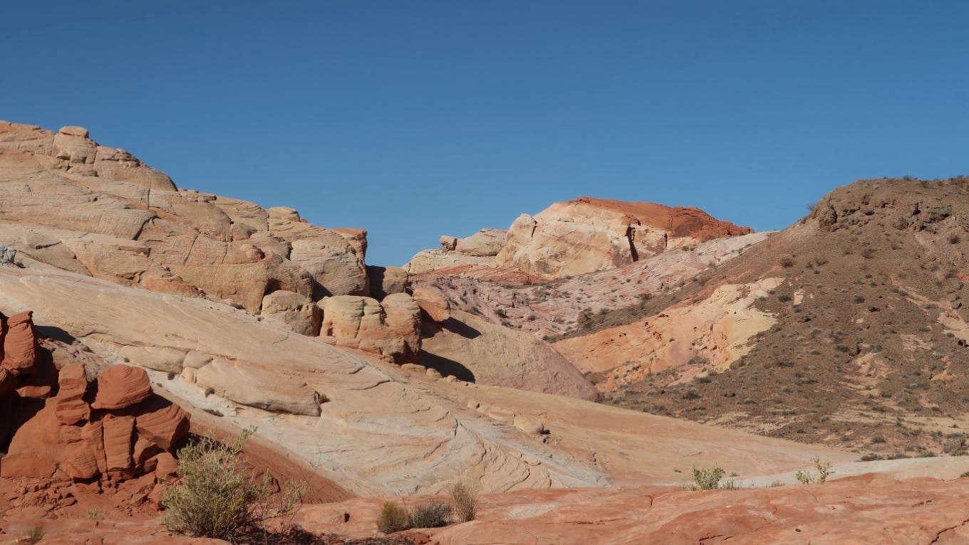
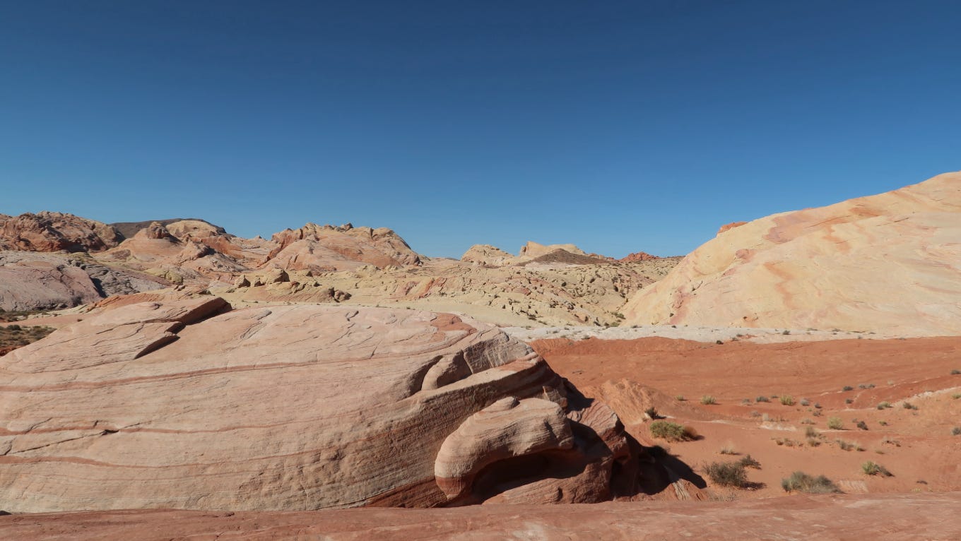
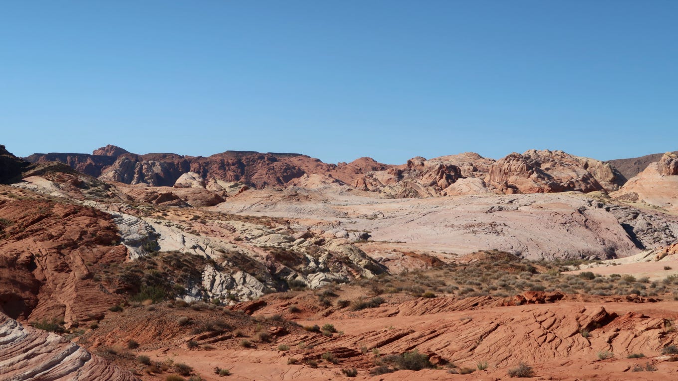
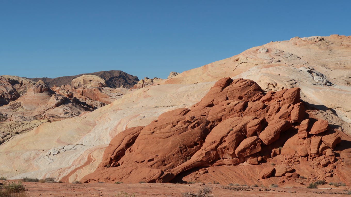
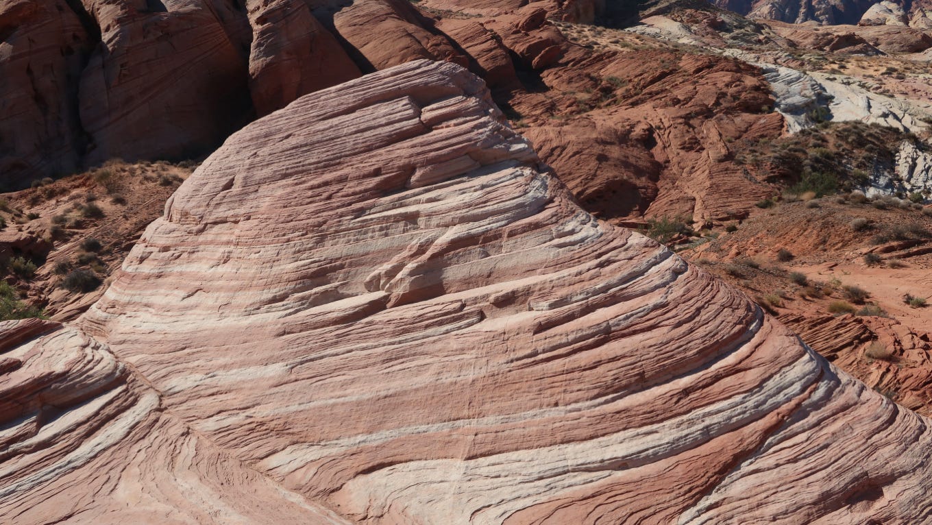
Fire Wave
We went back to NV 169 and drove east to a couple more viewpoints including Seven Sisters, Elephant Rock and some CCC Cabins. We had lunch near the Mouse Tank and then drove on the scenic (unpaved) 2 mile loop drive to a rock called Atlatl Rock which had more petroglyphs, these much more detailed, as well as some small arches in the rocks.
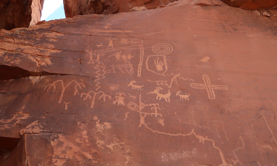
Atlatl Petroglyph
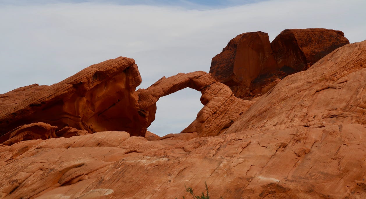
We were really surprised at the quality of this State Park. It had a variety of sites and hikes varying from easy to challenging. It is off the beaten track, but we were really glad to have found it.
From there, we drove about an hour or so back to Las Vegas, which was very windy and the visibility was not good due to a dust storm. We were lucky that the Valley of Fire had not suffered from the dust (yet). We made one stop on the way back to our hotel to look at the cool building for the Lou Ruvo Center for Brain Health, designed by Frank Gehry.
October 12, 2021
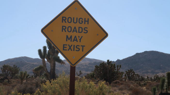
It was cold and windy where we had planned to go (St George, Utah), so we headed in the opposite direction, back into California. We took I–15 about 1:15 to Cima Road and drove into the Mojave National Preserve, where…it was also cold and windy.
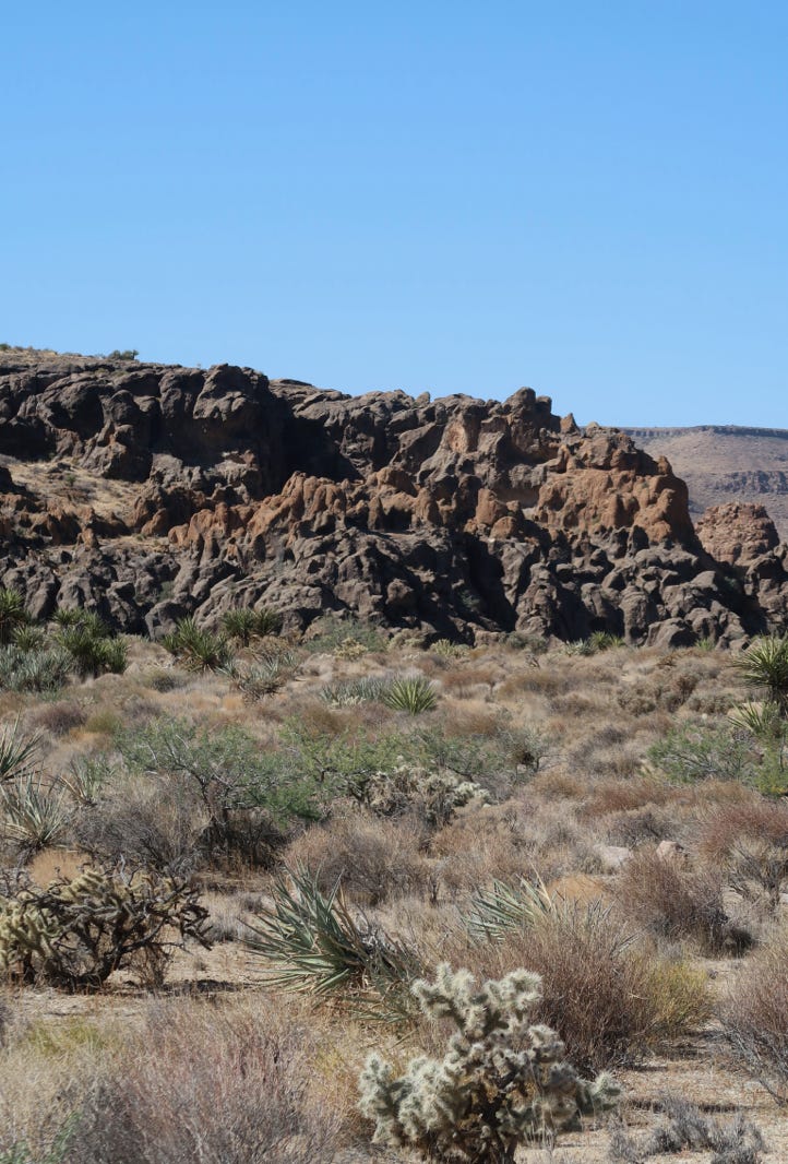
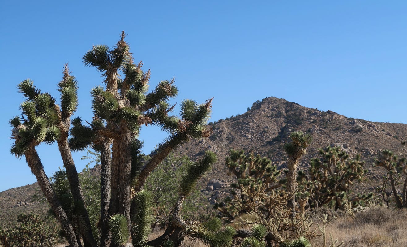
We drove by Teutonia Peak, and were impressed by the Joshua Tree forests, but we did see scars from the wildfires in the area last year (who knew the Mojave suffered forest fires).
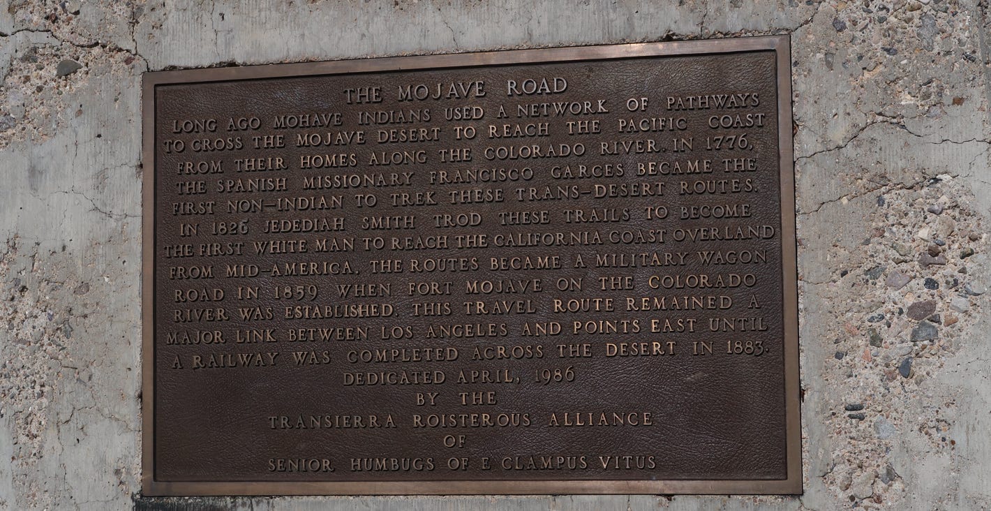
We started on rugged Wild Horse Canyon Road, but it was too rugged for our SUV, and we returned to the main road after about three miles or so. We took a different route to the Hole in the Wall Information Center, which was…closed. Even the bathrooms. Damn COVID. We tried to take a hike, but gave up due to the wind and cool temps after a few minutes. We drove down to I–40 on Kelso Road, and headed back to Las Vegas via Needles, Bullhead City, Laughlin and Searchlight. We crossed the Colorado River three times on the trip.
We spent our last night in Vegas girding for the long trip home. We had several good meals (take-out) from Las Vegas restaurants, including Asian and Mexican food, that were quite tasty.
October 13, 2021
We drove home via I-15 to Barstow, then CA–58 to Bakersfield and finally up I–5 to the Bay Area, a distance of 547 miles.
This was our third driving trip in the past 12 months, to many parks and scenic wonders, and despite the issues with air quality and wind (plus COVID), we saw more stunning natural beauty. We especially enjoyed the bristlecones, Red Rocks and Valley of Fire. The total trip was about 2,800 miles.
